See Everything. Know Everything.
Simplified Intelligent Solutions delivers satellite imagery monitoring, GIS analytics, and AI-powered intelligence to transform how organisations manage assets, monitor land, and make decisions.
Partnered with Esri and Microsoft to bring enterprise-grade geospatial intelligence to every sector.
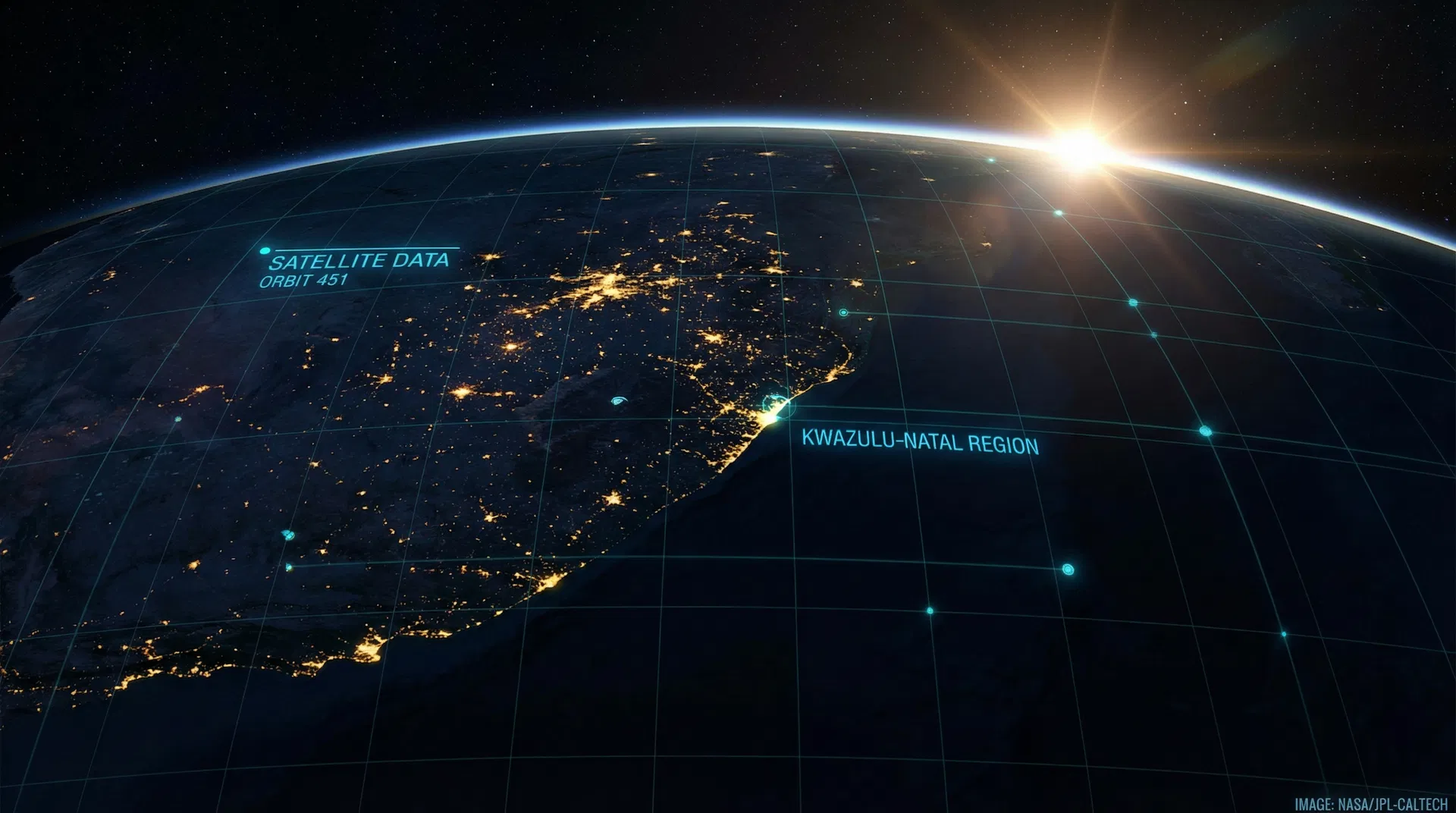
Intelligence from Space
We combine daily satellite imagery with enterprise GIS and AI to deliver actionable intelligence for organisations across Africa.
Satellite Imagery Monitoring
Daily global coverage with high-resolution imagery for near real-time monitoring of assets, land, and infrastructure across vast areas.
GIS & Spatial Analytics
Enterprise-grade Esri ArcGIS integration for powerful geospatial visualization, analysis, and decision-making dashboards.
AI & Machine Learning
Microsoft Azure-powered machine learning models that automatically detect changes, classify features, and predict trends from satellite data.
Change Detection & Alerting
Automated monitoring that identifies and alerts stakeholders to unauthorized developments, encroachment, or environmental changes.
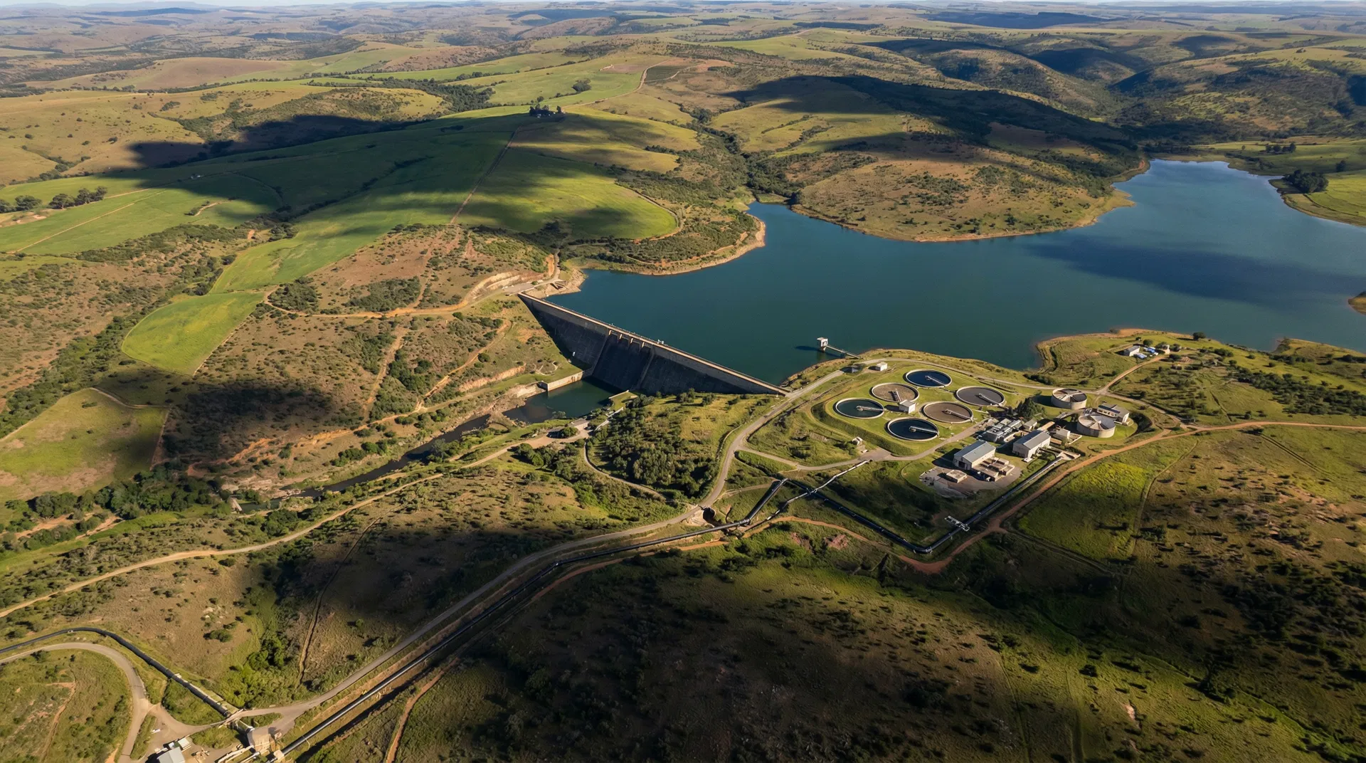
Water Leak Detection
Non-invasive satellite-based detection of underground water leaks, saving millions in water losses without excavation.
Environmental Compliance
Track environmental impact, vegetation health, rehabilitation progress, and regulatory compliance from space.
Sector-Specific Intelligence
Our satellite monitoring and GIS solutions are tailored to the unique challenges of each industry.

Powered by World-Class Platforms
Esri ArcGIS Platform
As an Esri partner, we leverage the full ArcGIS ecosystem to deliver enterprise-grade geospatial intelligence.
Microsoft Azure
Microsoft Azure provides the cloud backbone for scalable data storage, AI model deployment, and enterprise integration.
Trusted by Industry Leaders
Umngeni-Uthukela Water
Disaster Risk Encroachment Solution (DRES)
Satellite-based servitude encroachment monitoring system protecting critical water infrastructure.
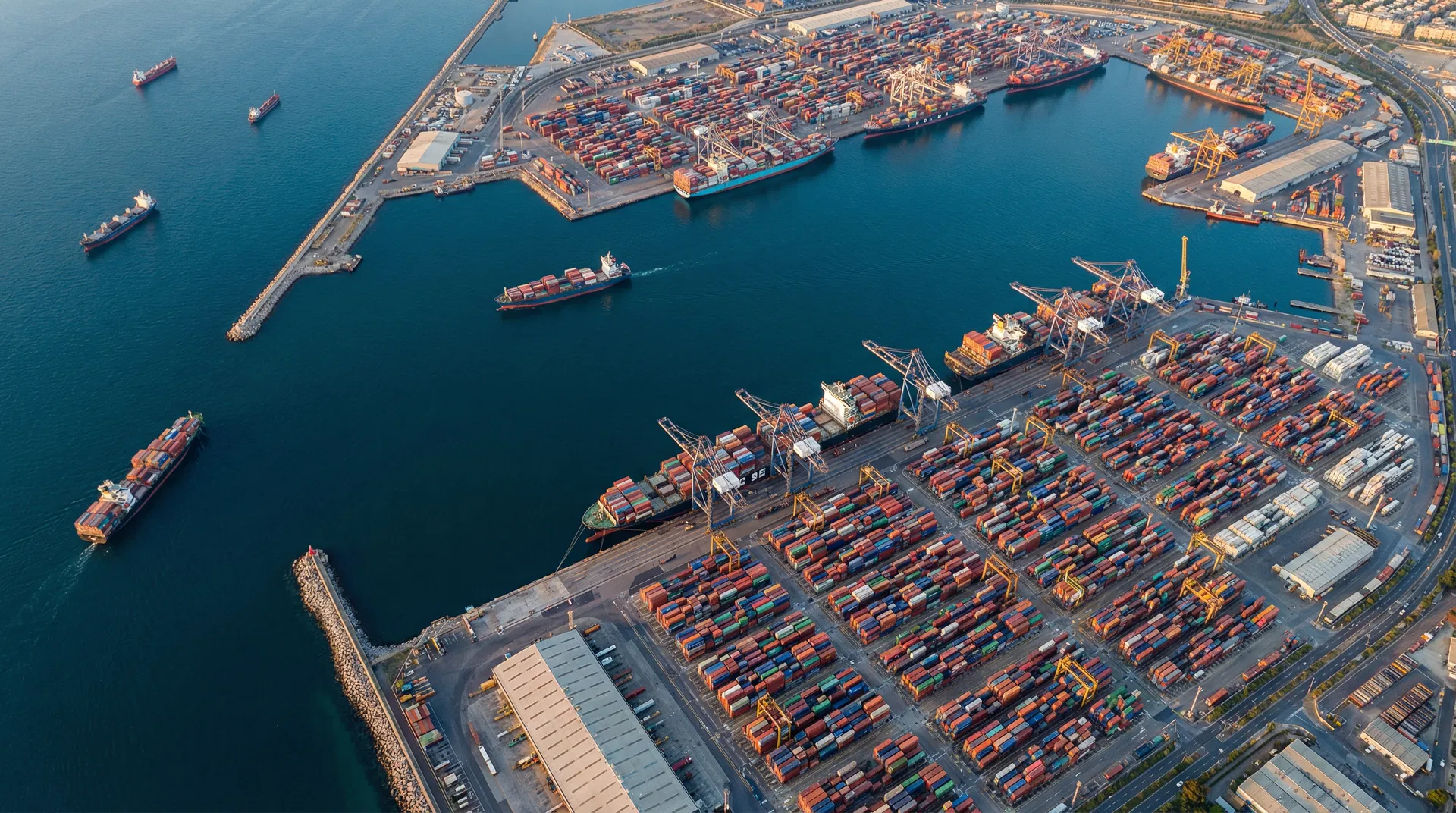
KZN EDTEA / Dube TradePort
Investment Monitoring Platform
Coastal land parcel monitoring solution giving investors real-time visibility of development progress.
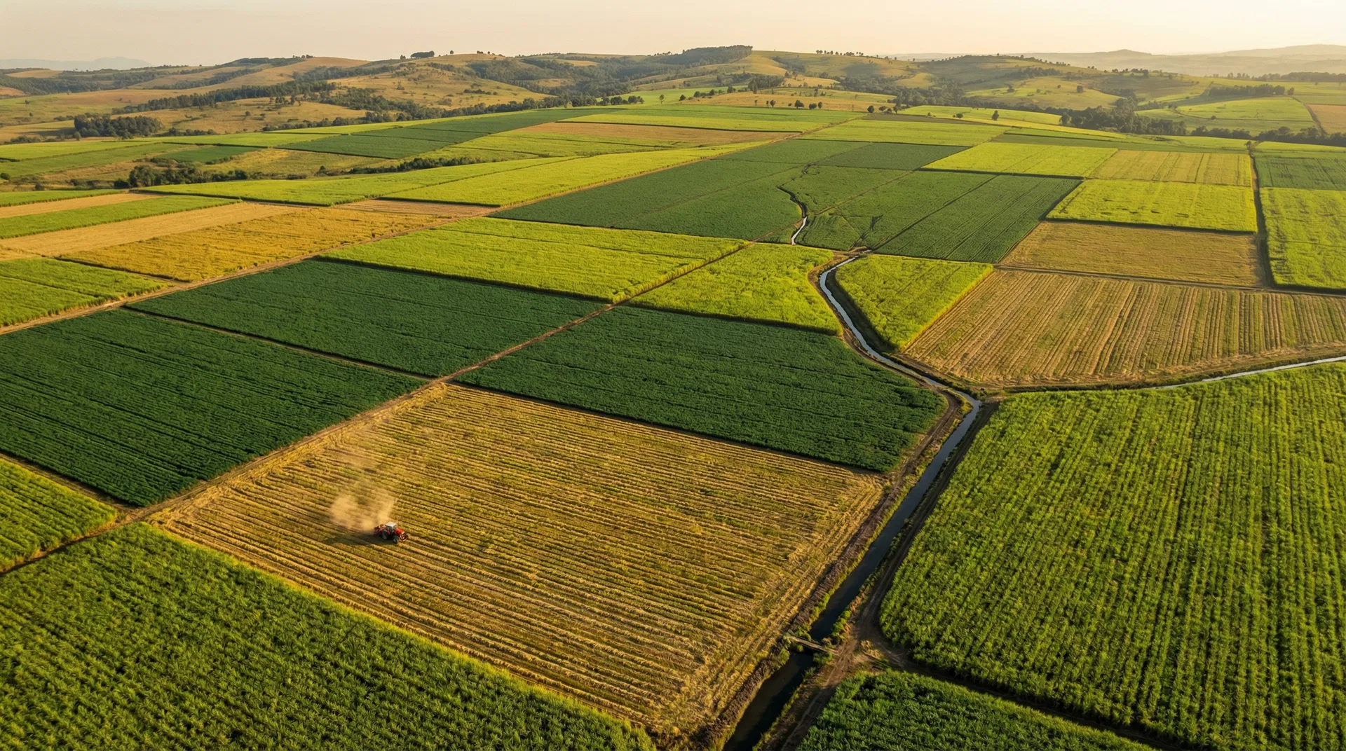
Tongaat Hulett
Sugarcane Satellite Intelligence
Comprehensive monitoring across 200,000+ hectares covering Eldana detection, harvest optimization, and fire management.
See Our DRES Solution in Action
Watch how we monitor servitude encroachment for Umngeni-Uthukela Water using satellite imagery and GIS.
Simplified Intelligent Solutions — Disaster Risk Encroachment Solution (DRES) for Umngeni-Uthukela Water
Ready to See Your World Differently?
Let us show you how satellite intelligence can transform your operations. Contact us for a consultation.